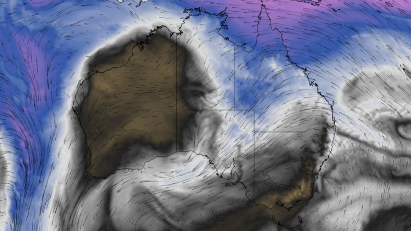
The clash of two weather systems over Australia this week is forecast to trigger a drenching for central, southern and eastern regions.
The damp conditions will be caused by moisture in the Cora Sea, off Queensland, being carried by northeasterly winds into southern states where a cold air mass is currently sitting.
When the two weather systems collide, the result will be widespread cloud and rain over multiple states, starting on Thursday and possibly continuing into early next week.
READ MORE: Melbourne teacher and former principal dies in school accident
A broad band of cloud and rain should develop from Queensland to South Australia from Thursday and continue into the weekend.
Rain will then become more widespread and heavier over parts of central, southern and eastern Australia from Sunday into early next week.
Parts of Queensland, South Australia and New South Wales could record 30mm to 60mm of rain from this system over several days. This includes parts of the Lake Eyre and Murray-Darling basins.
READ MORE: Fishermen die after drinking contents of bottles they found in the sea
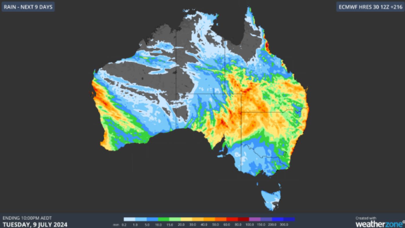
While this rain will help fill inland water storages, it may also be heavy enough to impact outback road and rail transport networks.
One interesting aspect about the band of rain-bearing cloud forecast this week is that it will extend over Australia from northeast to southwest, instead of the more usual cloud flow originating from the northwest and the Indian Ocean.