Higher risks of widespread flooding and tropical cyclones are on the cards for Australia this summer, according to the Bureau of Meteorology.
BoM's head of operational climate services Dr Andrew Watkins said several climate drivers are likely to create continuing wet conditions for parts of eastern Australia this summer.
The La Nina event in the Pacific Ocean was the "big driver", but a weather pattern in the Indian Ocean is also likely to bring a higher chance of rain.
LIVE UPDATES: Queensland premier considering Gold Coast border bubble

"La Nina describes a pattern of ocean temperatures that sees warmer waters in the western Pacific, which in turn drives increased atmospheric moisture and rainfall, including heavy rainfall, over Australia," Dr Watkins said.
"This pattern is likely to continue through until at least the end of January."
Dr Watkins said December would likely see Australia's typical summer weather systems pushed further south than normal, meaning more humid air coming off the Tasman Sea, and into New South Wales and eastern Victoria.
Even though this will be a wetter summer for many, Dr Watkins said the outlook was an important reminder for the community to always be vigilant for the potential risks of severe weather.
READ MORE: Three guilty of hunting down and killing Black jogger in US

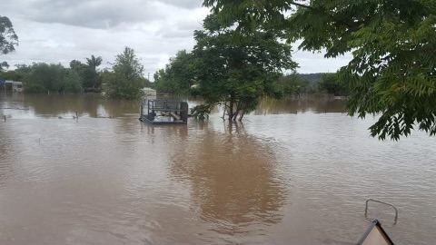
"Spring has been wetter than normal and, as a result, soil moisture is high, water storages are full, and we've seen flooding in some areas," he said.
"Any additional rain on our already wet landscape will increase the flood risk for eastern Australia this summer."
Bushfire risk may not be as high this summer as in some recent years, but bushfires happen every summer in Australia and even short periods of hot and windy weather will raise the fire risk.
READ MORE: France's warning of Australia's 'trust crisis' over submarines

"This year we need to be extra careful about grass and crop fires, particularly across inland areas and in the southwest of the country where we have had good growth over winter and spring," Dr Watkins said.
Summer days are likely to be warmer than average across most of Australia, except in the south-east.
"The risk of heatwave is about average this year, and it's important to remember that heatwaves are Australia's most deadly natural hazard. Warm nights after hot days in particular make heat stress a significant health risk," Dr Watkins said.
La Nina also means Australia is expecting an average to above-average number of tropical cyclones and lows.
READ MORE: WA dad charged with murder of daughter 16 years after assault
The BoM said Australia has already seen its first tropical cyclone of the season, roughly three weeks earlier than normal.
Four cyclones typically make landfall in Australia each year, but even offshore cyclones can make their impacts felt.
There are no strong swings to either wetter or drier conditions in South Australia, while parts of Western Australia are likely to see average to slightly above average rainfall.
Stay up to date with weather warnings at the BoM website.
