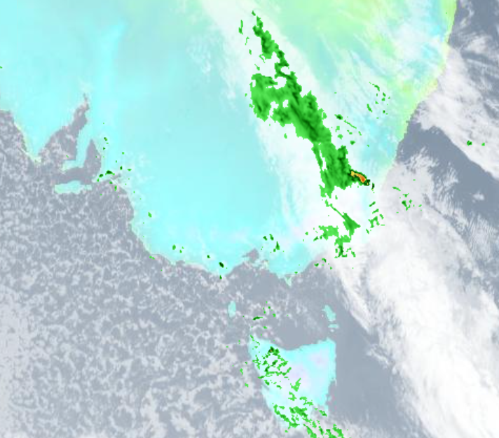
Even as winter supposedly comes to a close, another Antarctic blast is set to sweet Australia's south-east with freezing temperatures, wild winds, and more rain.
Christie Johnson from the Bureau of Meteorology said a cold front had moved through Victoria, Tasmania and South Australia and on to New South Wales today.
In some good news, weather warnings for damaging winds have been cancelled, but not before gusts of 100km/hr were recorded through the Victorian alps.
READ MORE: John Farnham in hospital after cancer diagnosis
"As that front moves through north-east NSW today we could see thunderstorms develop, and some of those do have the potential to become severe and produce damaging wind gusts and large hail," Johnson said.
"There is a lot of cold air behind this front so there are warnings out for Tasmania, a road weather alert for icy roads and also a bushwalkers alert for low-level snow, and of course lots of floods warnings as well."
So far the flood warnings are "mostly minor to moderate" but Johnson urged people in affected areas to keep an eye on updates.
READ MORE: 7-Eleven to double the price of its famous coffee

The cold front isn't expected to linger, but will clear NSW today and is expected to develop into a low-pressure system off the coast, bringing some extra coastal rainfall tonight and early tomorrow.
"But it will clear away tomorrow pretty quickly, and then we have some pretty nice weather coming for the end of the week and for the weekend," Johnson said.
READ MORE: Full list of upcoming train strikes and what lines are affected in August
