More rain is due for the south-east today, including Australia's alpine regions - but snow-goers still have plenty to look forward to.
Weatherzone reported today that light rain had done some damage to the snow cover at resort locations through the mountains yesterday afternoon.
Temperatures around two degrees meant the snow was unable to form - and that's likely to continue today.
READ MORE: Five people dead in shooting, cops have 'absolutely no idea why'
But Weatherzone said a series of cold fronts later this week would change that.
From Thursday, the snow is set to begin in earnest as those fronts sweep the south-east.
Up to 50cm is expected even at relatively low elevations by Monday.
Meanwhile, Queensland has also had some unseasonably heavy rain, with about 25mm falling on Brisbane yesterday.
READ MORE: Perth family searches for answers after one-year-old dies
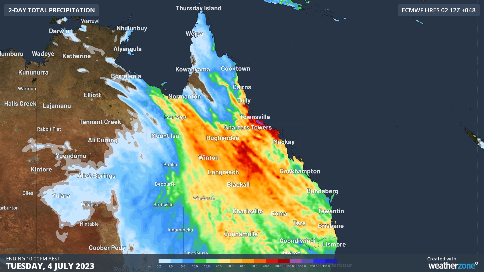
But it's the western and outback regions that have copped the biggest totals.
Cloncurry Airport had 64.4mm to the 24 hours to 9am on Monday, about 15 times the town's July average of 4.3mm.
And that followed the state experiencing what was its warmest June on record.
As a whole, Queensland's temperatures were 3.13 degrees above average, breaking the 1996 record of 2.49 degrees above average.
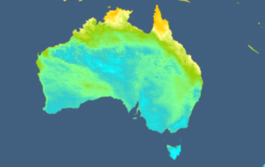
Australia-wide, it was the country's 10th warmest June on record with the average temperature 1.25 degrees above average.
That's despite Western Australia actually dipping 0.38 degrees below it's average for the month, and Perth recording its coldest June in 50 years.
Sign up here to receive our daily newsletters and breaking news alerts, sent straight to your inbox.