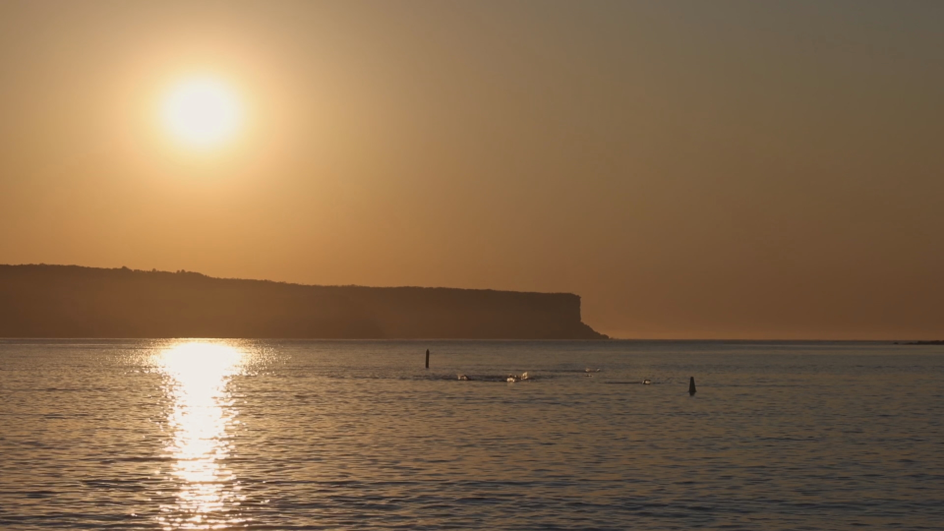
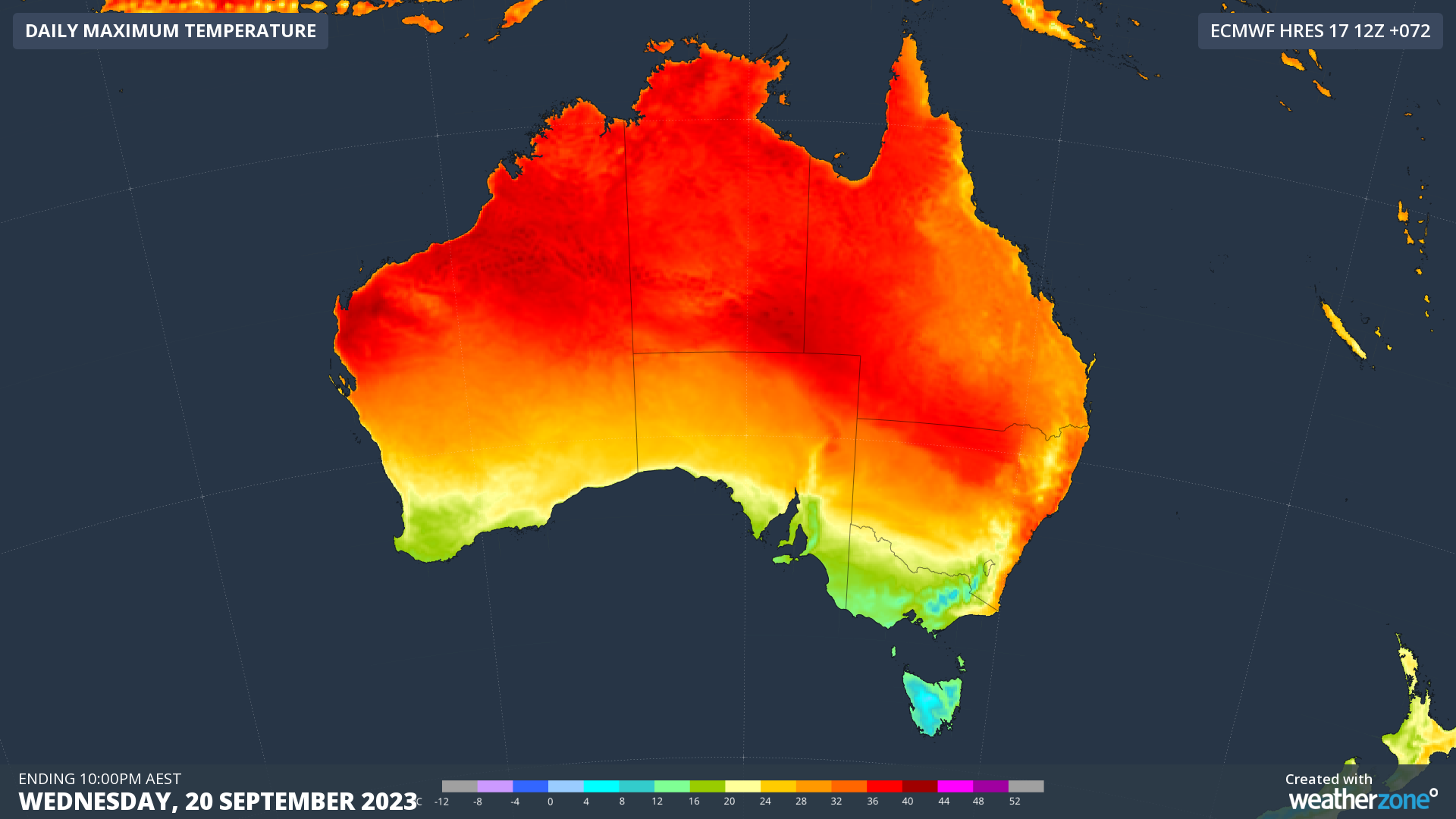
Sydney will set a new heat record today as high temperatures continue across the state, just a day after equalling its hottest September day on record.
The Bureau of Meteorology has forecast a top of 35 degrees for the NSW capital, which will be the second day in a row.
Sydney has never, until today, recorded two days of 34 degrees or more in a row, in September.
READ MORE: Cathy Freeman declares support for a Voice to parliament
Records dating back to 1859 in fact show that before this week, Sydney had only reached 34 degrees in September three times, according to Weatherzone's Ben Domensino.
A total fire ban is in place for Greater Sydney, the Hunter, and the Upper Central West regions, and national parks around the Sydney region will also close.
As of 6pm last night, according to the Rural Fire Service, there were 70 fires burning across the state, with 14 not yet contained and over 750 firefighters deployed.
Temperatures are set to drop after today, with a forecast maximum of 22 degrees for Sydney on Thursday, followed by a top of 19 degrees on Friday.
READ MORE: At least 40 wedding guests struck down with gastro
El Nino signals scorching summer
The BoM yesterday finally declared an El Niño event was here, months after the United Nations made the same pronouncement.
"This summer will be hotter than average and certainly hotter than the last three years," the Bureau's Dr Karl Braganza said.
READ MORE: El Niño has officially been declared. But what does that mean?
Australia's last El Niño event occurred during the summer of 2015-16.
Climate model outlooks suggest the El Niño period is likely to continue until at least the end of the southern hemisphere summer at the end of February.
Australia is likely to experience hotter and drier weather than in recent years, along with an elevated bushfire risk.