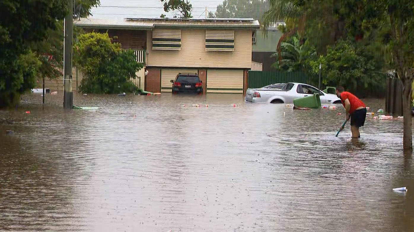
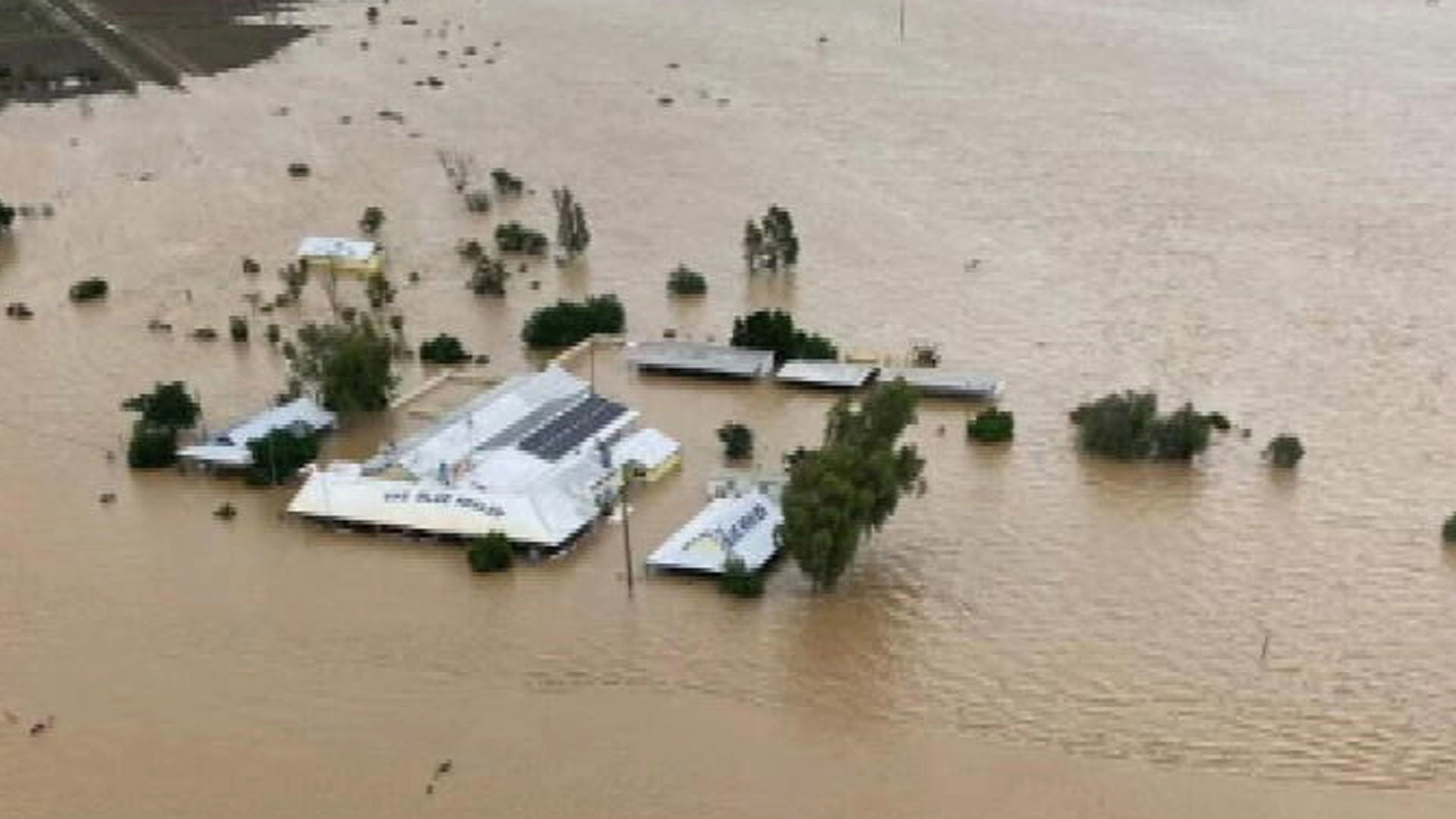
Flooding has struck large parts of south-east Queensland after the region was lashed by heavy rain overnight, with further deluges forecast for coming hours.
Emergency services launched water rescues for families trapped in their homes after requests for help in the Moreton Bay, Somerset, Lockyer Valley and Darling Downs regions overnight.
Later today, heavy rainfall which may lead to flash flooding is forecast to continue across much of south-east Queensland, with thunderstorms expected for Moreton Bay, Somerset and Sunshine Coast council areas.
READ MORE: Woman stable after 'horrific' shark attack at private wharf on Sydney Harbour

Residents are being urged by Queensland Fire and Emergency Services to remain in their homes until the wild weather ceases.
"If conditions are dangerous in your area, avoid unnecessary travel and stay inside until the storm has passed."
Large parts of Queensland recorded heavy rainfalls overnight. Samford in Moreton Bay received 300mm in just three hours, while the Central Highlands recorded about 71mm in two hours.
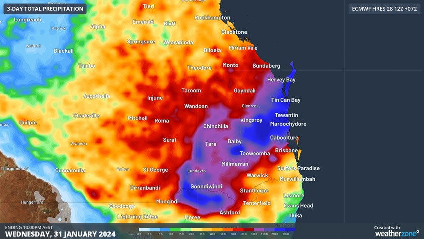
Today a severe thunderstorm warning has been cancelled by the Bureau of Meteorology for the state's south-east, but a severe weather warning remains in place over a huge stretch of land, from Bundaberg in the Wide Bay-Burnett region down to Ipswich.
READ MORE: Sydney's train network faces major delays after incident

Widespread falls of 100mm to 150mm are forecast between the Gold Coast and Gladstone area in the next 72 hours, with isolated pockets around 150-300mm.
A coastal trough is developing bringing wet and unstable weather.
The most intense rainfall is expected between this evening and tomorrow morning, as a low-pressure system develops within the trough.
A month's worth of rain was dumped over just a few hours yesterday as the impact of Ex-Tropical Cyclone Kirrily continues to be felt in north and central Queensland.
READ MORE: Former PM Tony Abbott weighed up deploying Australian troops over MH17 downing

The remains of the cyclone, currently east of Middleton, will slowly move across the western interior until Wednesday.
It is forecast to bring heavy rainfall which may lead to flash flooding in the southeastern North West, western Central West, northern Channel Country and far southwestern Northern Goldfields and Upper Flinders districts.
