Tropical Cyclone Neville has finally formed off the north-west coast of Australia after it lingered for two weeks in the Indian Ocean.
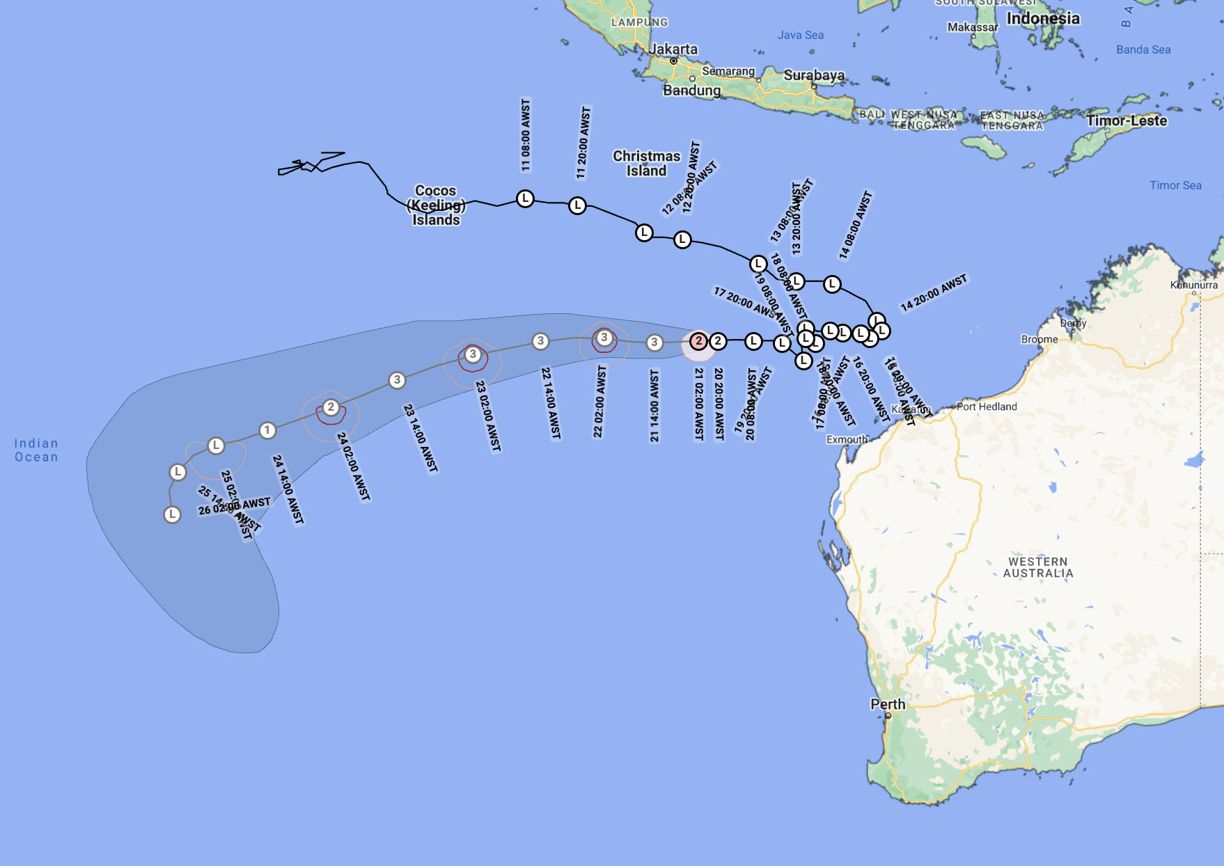
The Bureau of Meteorology early today said the category four storm was 850km south south-west of Christmas Island.
It is intensifying over open water as it moves away from the coast of Western Australia.
READ MORE: Perth stripper's two-year court battle over gun scare ends in $500 fine

The bureau issued its first advisory about Neville back on March 11 when it was swiping past the Cocos (Keeling) Islands, about 2700km from Perth.
But the weather system struggled to gain force because it lacked the necessary wind conditions and was hampered by mid-level moisture.
By Wednesday the environment improved enough for Neville to spin up and become organised.
Within hours, it became a tropical cyclone with gales over halfway around the system.
READ MORE: Accused poisoner Erin Patterson moved to 'protected unit' in prison

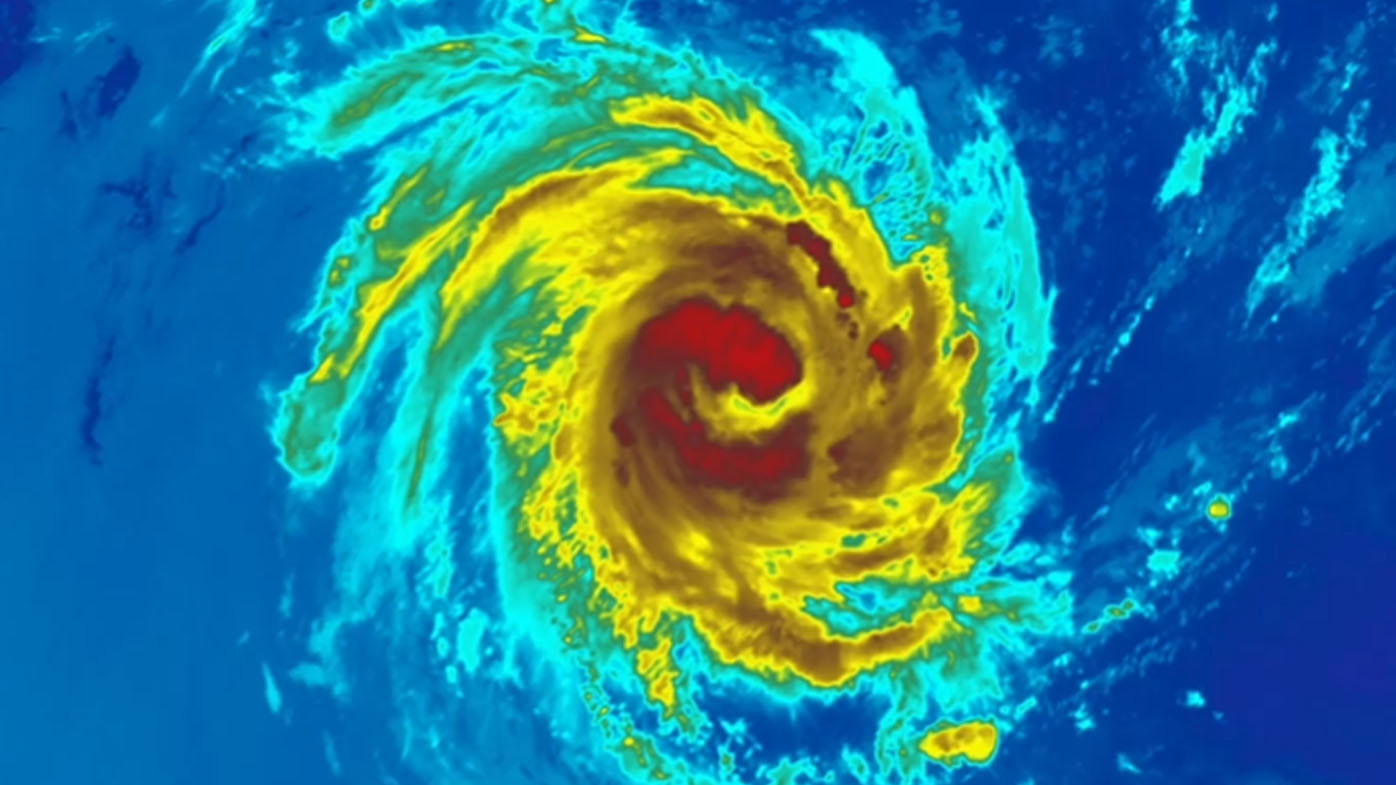
While satellite images reveal an arresting eye of the giant storm, the good news is that Neville is in the middle of nowhere over the Indian Ocean.
From tomorrow, Neville is expected to weaken as it moves to the south and over cooler waters, the bureau says.
The moisture from Neville will cause heavy rain for a few days, but very little is likely to be leftover once the front reaches south-western WA mid-next week.
READ MORE: Where you can - and can't - buy alcohol over Easter
