Brisbane's ferries have been moved to safety and their Moreton Bay islands counterparts will soon follow suit as Cyclone Alfred prepares to make an expected sharp curve towards south-east Queensland.
More than 4 million people across Queensland's population centre and into northern NSW have been warned to brace for possible daily rainfall totals of 200 to 400 millimetres, life-threatening flash flooding and wind gusts up to 120km/h.
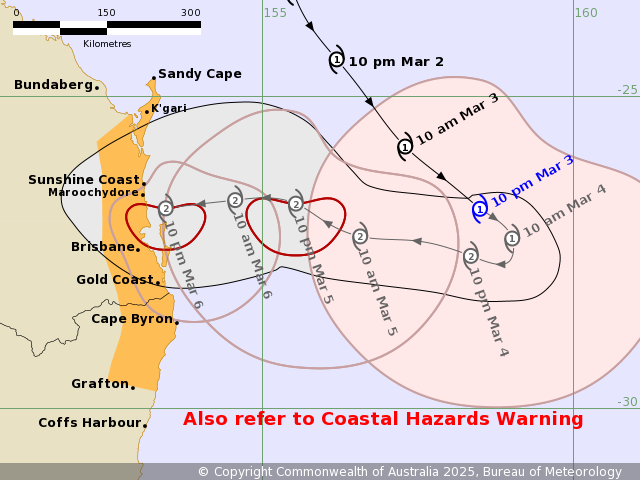
The cyclone was predicted to make landfall between Brisbane and the Sunshine Coast on Thursday night as a category 2 storm.
CYCLONE ALFRED LIVE UPDATES: Ferries cancelled, shelves stripped bare as storm edges closer
Alfred was expected to remain a category 1 storm through the night before powering up to a category 2 system today and possibly fluctuating in intensity while heading west towards the coast.
Everyone in the impact zone was warned to do what they could to prepare but the focus was particularly on those living in low-lying coastal areas and the Moreton Bay islands.
All ferries were pulled from their Brisbane River routes at midnight to be floated to safe harbour and the same fate was forecast for boats linking both Stradbroke Island and the south of the bay.
The last passenger boat from Dunwich on Stradbroke Island to Cleveland east of Brisbane was expected at 10.45am today, with the vehicle ferry to also be pulled from operation on Wednesday and Thursday. The last ferry from Coochiemudlo to the mainland is expected at 7.30pm tomorrow.
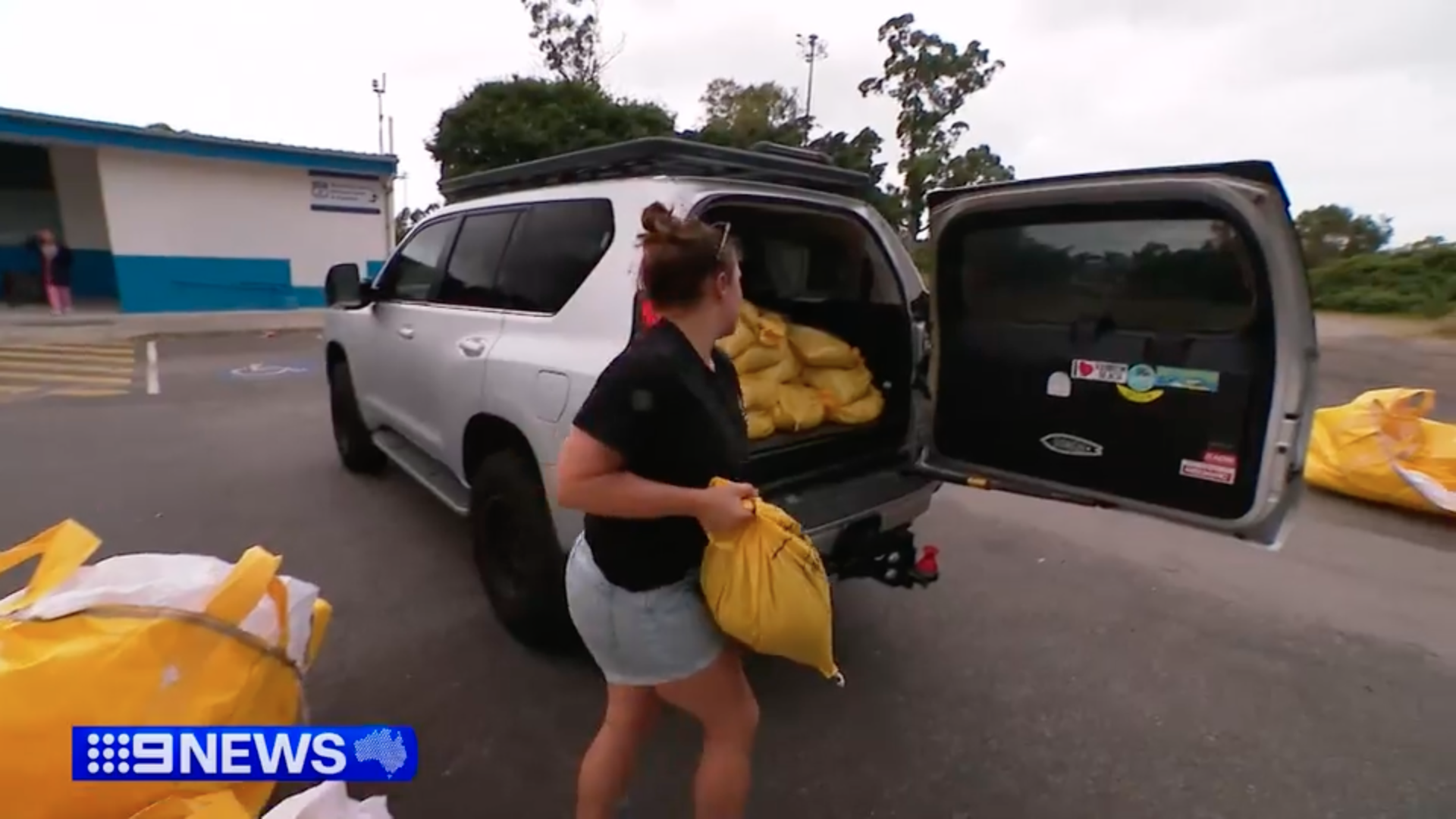
Preparations for the storm were well under way yesterday as residents stripped supermarket shelves bare and joined lengthy queues for sandbags.
Some drivers reported wait times of up to two hours as long lines upset traffic and two of Brisbane City Council's five sandbag stations ran out by mid-afternoon.
READ MORE: The region in firing line of cyclone for first time in 30 years
"I thought it was early but apparently not," one waiting driver said.
"Probably not going to be any left."
The Bureau of Meteorology's latest cyclone forecast track map, issued just before 11pm yesterday (just after midnight today AEDT) had Alfred hitting the coast somewhere between Brisbane and the Sunshine Coast on Thursday night.
But it stressed there was plenty of uncertainty, with the centre possibly making landfall as far south as the Gold Coast or as far north as K'gari.
READ MORE: 'Window closing' as Cyclone Alfred approaches coast
The watch zone covered more than 500 kilometres of coastline from Sandy Cape south to Grafton in NSW.
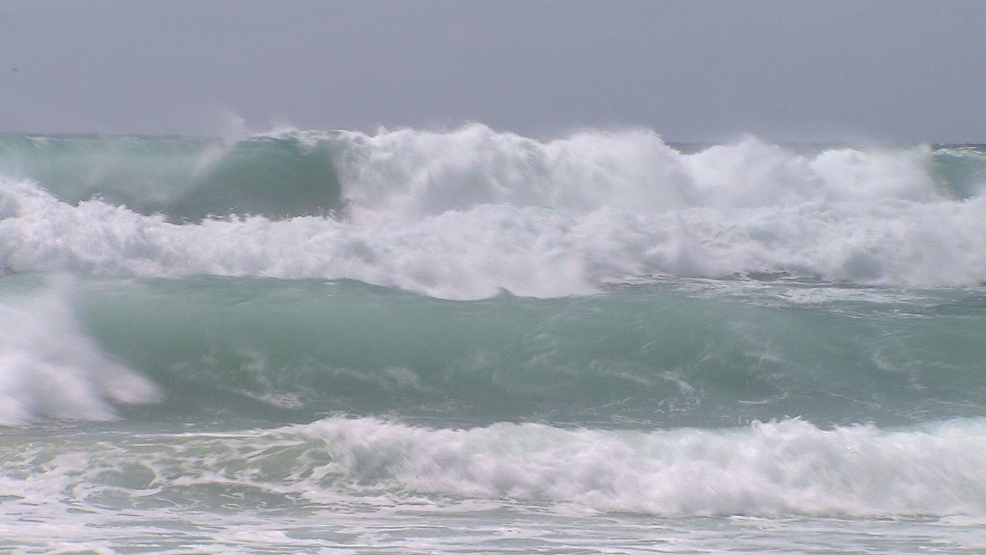
Overnight, the cyclone was still heading south-east, spinning up sustained winds of 85km/h and gusts of 120km/h roughly 550 kilometres east of Brisbane.
It was expected to turn towards the coast some time today, likely bringing abnormally high tides, hazardous surf and potentially damaging swells.
Time to safely evacuate before Alfred hit was running out for many Queenslanders, Premier David Crisafulli warned yesterday.
"There will come a time where you either leave or stay, once that window closes, we will support people in whatever decision they make," he said.
"But it is important you make that decision fairly soon, because that window will close."
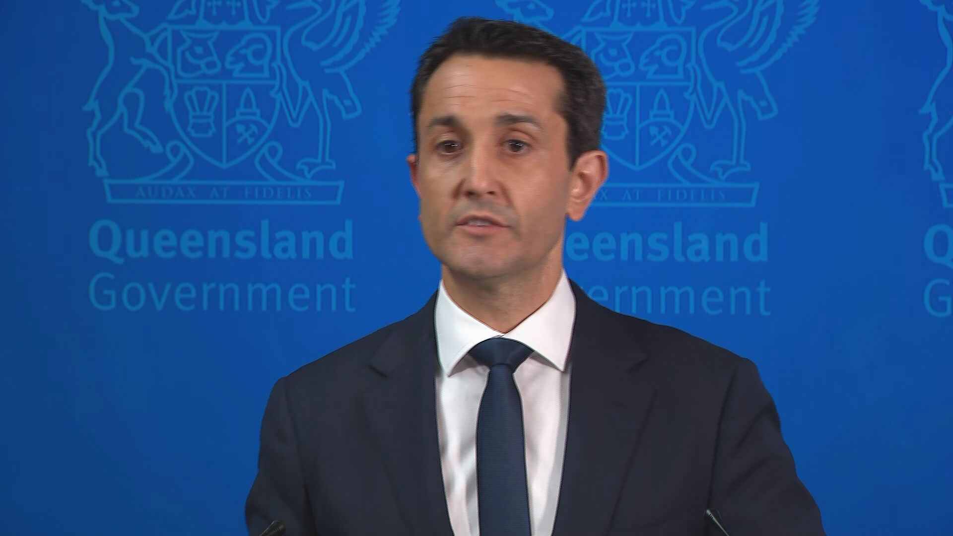
Crisafulli today told Queenslanders to be prepared and keep across updates as the fast-moving cyclone barrels towards the south-east.
"I am asking Queenslanders to be ready for it, and history shows it can happen," he added.
DOWNLOAD THE 9NEWS APP: Stay across all the latest in breaking news, sport, politics and the weather via our news app and get notifications sent straight to your smartphone. Available on the Apple App Store and Google Play.