The heavy rain and storms hammering parts of Australia's eastern coast should ease by this afternoon and lead into a sunny weekend, forecasts show.
The Queensland and NSW coasts, as well as regions further inland, have copped a soaking this week, driven by a low-pressure system off the coast.
Falls of up to 80mm have been recorded in south-eastern Queensland, and up to 70mm in NSW down to the Central Coast.
LIVE UPDATES: 'Tentative deal' reached - but no word from Trump
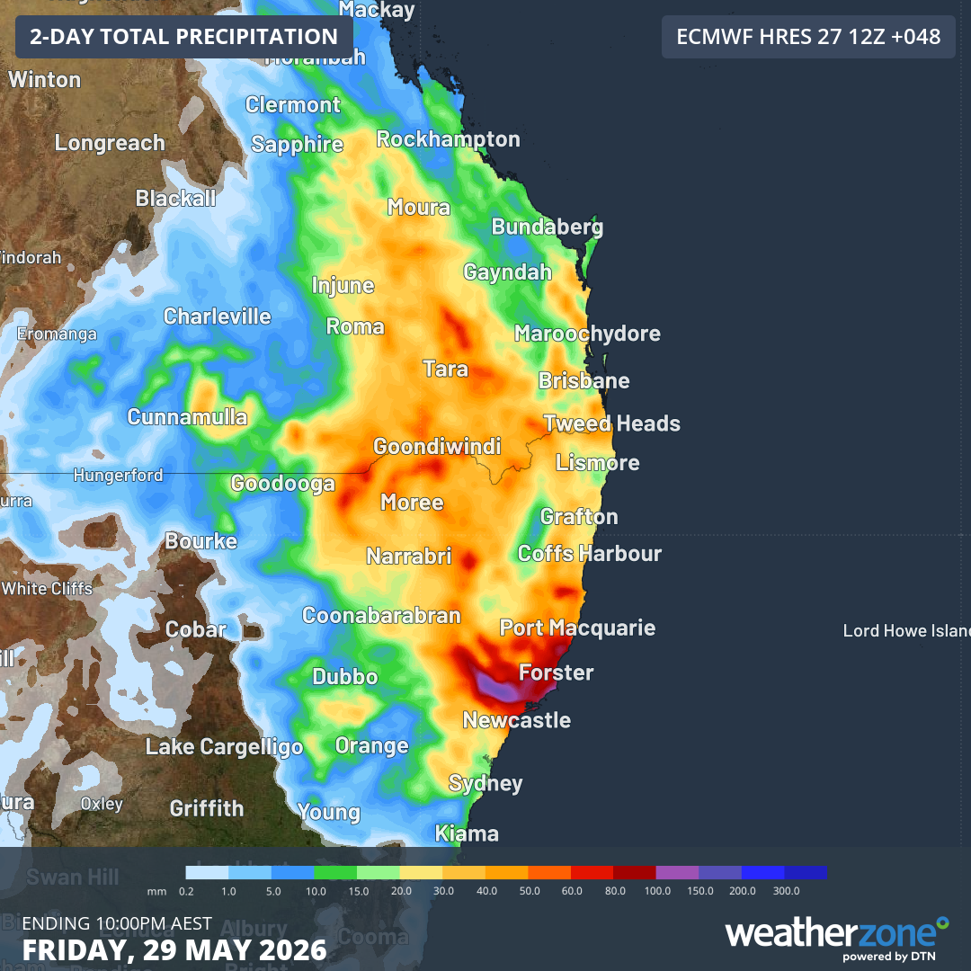
Weatherzone said current modelling indicated Friday would continue to be wet and grey for most of the day before the weather eased in the afternoon.
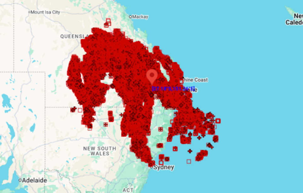
The weather website's lightning detector showed 460,000 strikes within 800km of Dalby in southern Queensland in the 24 hours to 9 am yesterday.
A severe weather warning from the Bureau of Meteorology remains in place as of this morning for parts of the Mid North Coast, Hunter, North West Slopes and Plains, and Northern Tablelands districts.
READ MORE: Call for government to go further after $2 billion PFAS lawsuit
Six-hourly rain totals of between 40mm and 70mm are expected, with isolated falls of up to 80mm.
Severe thunderstorms could strike the eastern Hunter and south-eastern Mid North Coast this morning, with the threat easing mid-afternoon.
The Bureau also has a flood warning in place for the Hunter and Mid North Coast regions.
READ MORE: 'Curious' former police officer sought gigabytes of abuse material
No severe weather warning has been issued for Queensland today.
The forecasts for Brisbane and Sydney show sunny weekends ahead for both cities, with temperatures peaking in the low 20s.
"At this stage, rain and storms should ease on Friday afternoon and evening as the low moves away from the coast," Weatherzone said.
