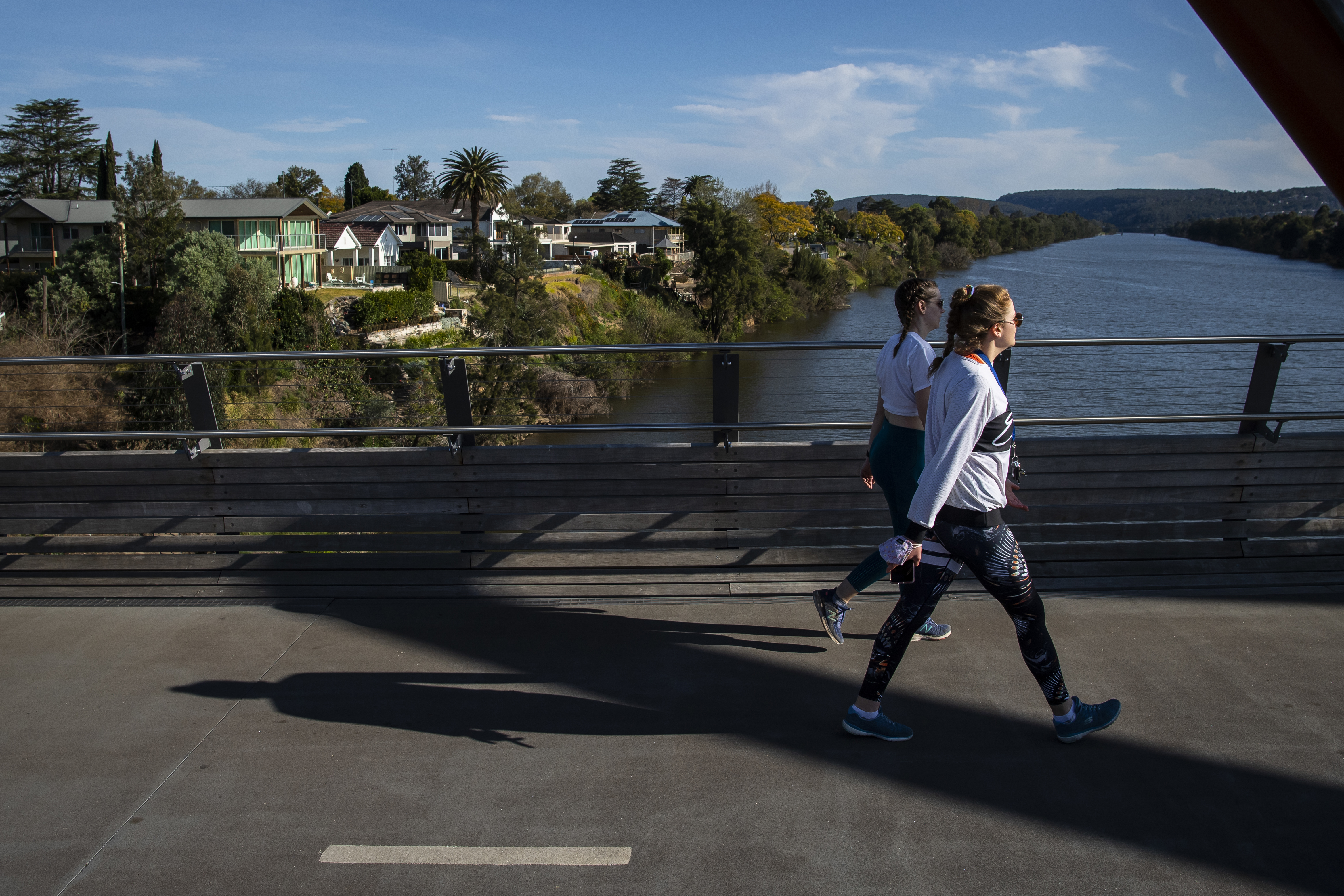
Wild weather is expected to continue across southeast Australia today.
A frontal system is moving across Victoria, bringing wet and windy weather.
Heavy rain is forecast for Melbourne in the coming days.
READ MORE: Sydney tradies fined and site closed for COVID-19 breaches

Several severe weather warnings for parts of Victoria, NSW and the ACT.
Spring may have started days ago but four places in New South Wales have already set temperature records.
The hottest recorded in the state was in the north-western NSW town of Wilcannia with a top of 33.6C, according to the Bureau of Meteorology.
READ MORE: Sydney tradies fined and construction site closed for COVID-19 breaches
The highest temperature in Sydney was recorded in Penrith, with a peak of 24.4C.
Hay in the western Riverina region hit 30.1C, while Ivanhoe between the Lachlan and Darling Rivers reached 32.1C.
NSW wasn't the only state setting records.
A cold front in Victoria brought 110km/h winds in the state's Dandenong Ranges.
New South Wales/ACT
Warm conditions are being experienced across much of the state ahead of a cold front.
A rain band will move into western and southern New South Wales later today.
Rain is developing across the southwest and is expected to reach the southern ranges late this evening.
EXPLAINED: What is the Mu variant? A potentially dangerous new strain of COVID-19
There is the chance of a thunderstorm in the far west and south later in the afternoon or evening.
The far west can also expect northeast to north-westerly winds with a late south-westerly change.
Daytime temperatures will be above average for most of NSW and the Australian Capital Territory.
Victoria
Widespread rain is expected in Victoria's west before clearing later in the day and extending eastwards.
Isolated thunderstorms are expected, contracting to eastern parts at night.
Severe thunderstorms are possible in the east during the afternoon and evening.
Warm temperatures with fresh northerly winds are expected in Dandenong Ranges, shifting colder south-westerly during the day.
Queensland
There will be slight to medium chance of showers in Queensland's eastern districts, increasing to a high chance about the North Tropical Coast.
Meanwhile, there will be a medium to high chance of showers and patchy rain in the far southwest late in the day.
There is a chance of thunderstorms in the far southwest late in the day.
Conditions will be mostly sunny elsewhere, with temperatures near or below average in the east and tending near or above average in the west.
There is a very high fire danger rating in place in the Peninsula District today.
South Australia
Temperatures will be hot in South Australia's northeast, with moderate to fresh northerly winds, ahead of a cooler, gusty southwest to southerly change reaching the far northeast in the evening.
There will be cool to cold temperatures with moderate to fresh south-westerly winds over the remainder of the state and dry in the far west.
Thunderstorms and small hail are possible near southern coasts in the evening.
Western Australia
In Western Australia, there will be showers over southern parts of the South West Land Division and Eucla coast,
Possible small hail along the south coast in the morning.
Widespread morning frost over the inland South West Land Division, southeast Gascoyne and the Goldfields.
Northern Territory
In the Northern Territory, there will be a slight to medium chance of showers and thunderstorms over the Daly, Arnhem, Gregory, Tanami, southern Barkly and eastern Lasseter Districts.
This will increase to a medium to high chance over the Simpson District.
A high fire danger rating is in place for north of Elliott and western Lasseter District.
Tasmania
Rain extending throughout the state during the day, easing to showers in the west and south in the evening.
Tasmanians can also expect northwest to westerly winds during the day.
