Most states and territories will enjoy clear skies and not a drop of rain this week as a high-pressure system continues to linger over southern Australia.
While most of Australia can expect a dry week, there will be rainfall in Far North Queensland, western Tasmania and parts of New South Wales, and south-west Western Australia.
A cold front will sweep across Tasmania on Thursday, bringing showers to the state. Another cold front is heading to south-western WA, which will cause showers and thunderstorms on Friday as it crosses.
READ MORE: ICC seeks arrest warrants against leaders of Israel and Hamas
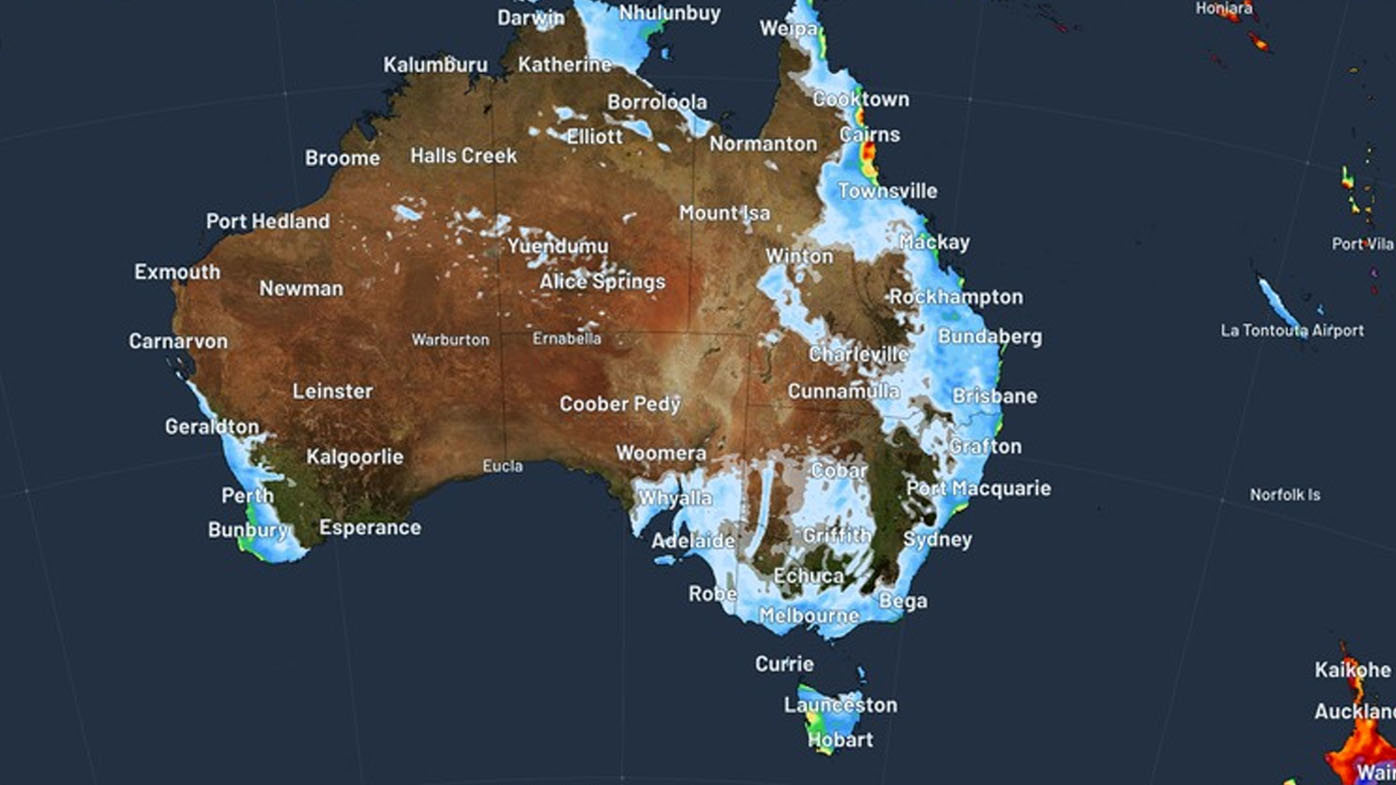
Far North Queensland will see the largest daily totals from mid to late week as a south-easterly airstream strengthens and feeds moisture into the region.
Showers are forecast for central and northern NSW from today, before easing later in the week.
Meanwhile, on the other side of the country, there seems no end to Perth's record warmest start to May.
Last weekend, the WA capital recorded 12 consecutive days above 25.5 degrees (the average for the month is 22.3 degrees), making it the warmest May streak in more than 125 years.
Perth is headed for a top temperature of 26 degrees or more for the rest of this week.
At this stage, the forecast is that the week should be free of severe weather.