A spell of fine and relatively warm weather in Western Australia is forecast to end today, with an approaching cold air mass bringing heavy rain, hail and blustery winds.
The chilly air has been blown from the Antarctic and should arrive over the state's southwest in coming hours when temperatures are expected to plummet.
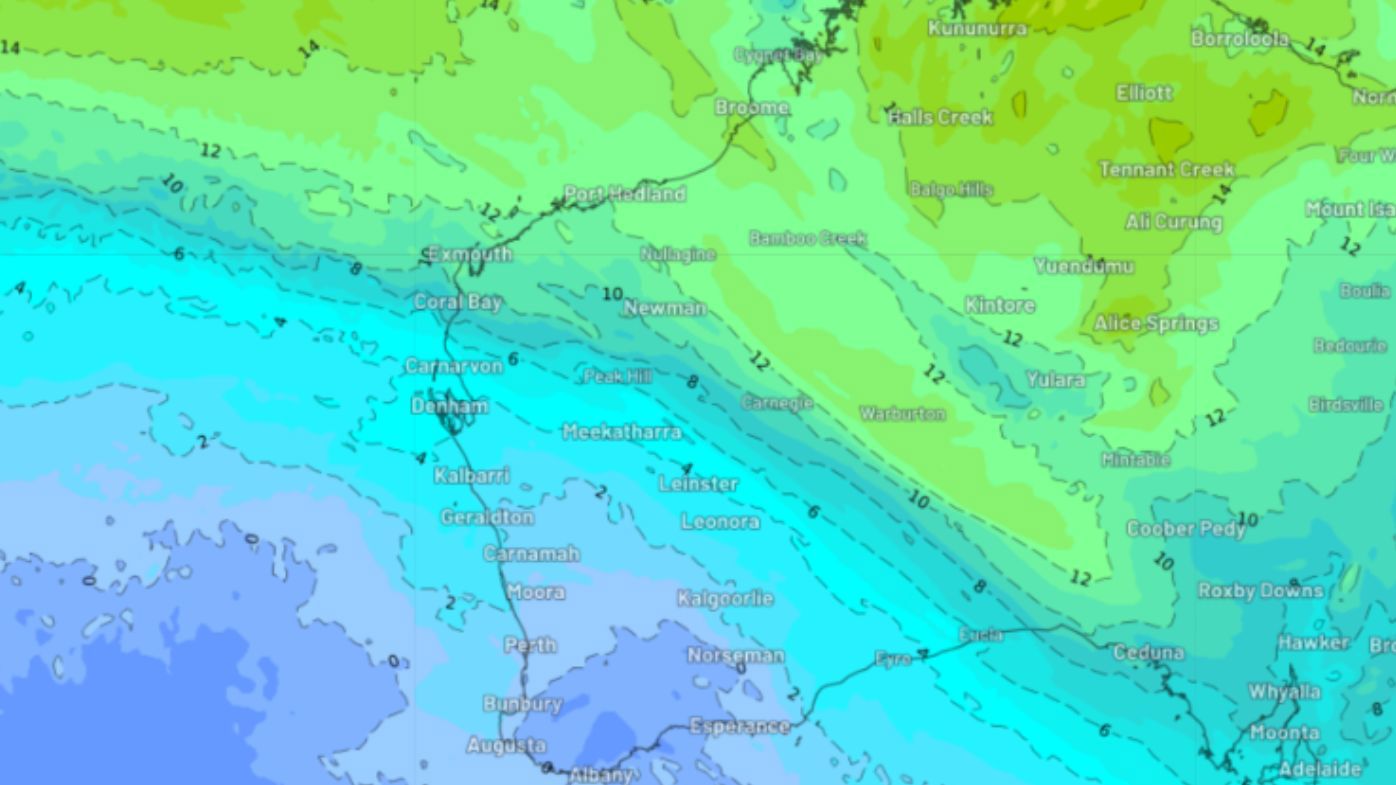
Forecasters say by today there will be a sharp weather divide in WA, with northern areas continuing to bask in autumnal-like conditions but the mercury dropping in southern regions.
READ MORE: Man in custody after another man found seriously injured on Perth highway
Early this week Perth was basking in top temperatures of 22 degrees, but today and tomorrow they are forecast to stay below 18 degrees.
The coldest part of the state will be inland areas of the southwest where the mercury will struggle to reach a top of 14 degrees.
And the chilly temperatures will be accompanied by several days of strong wind, which is likely to make the temperature feel much colder than what the mercury says.
As this frigid air mass moves onshore with a band of rain, the southwest of WA could see small hail today
In addition to the cold air and small hail, heavy rainfall should begin to impact the southwest today, including the Perth region.
Widespread falls of 10mm to 20mm forecast and isolated falls of 30mm to 60mm are possible in coastal areas.
Looking ahead the rain should mostly clear by tomorrow, temperatures will warm slightly on the weekend.
Meanwhile, the chilly conditions in eastern states will continue today, with some regions expected to shiver through temperatures as low as zero degrees.
A flurry of snow speckled southeastern Queensland yesterday and more is forecast for the state's Granite Belt region today.
- With Weatherzone